Upper Mustang Trek
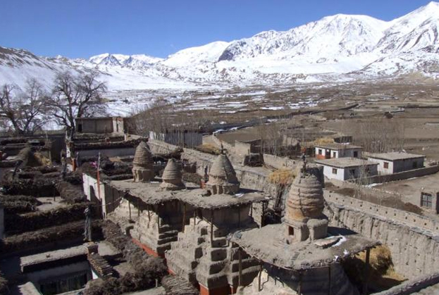
 The main hydrographic feature of Mustang is the Kali Gandaki River. The river runs southward towards Nepal Terai, bisecting Mustang. Routes paralleling the river once served as a major trade route between Tibet and India, especially for salt. Part of the river valley in the southern Mustang District forms by some measures the deepest gorge in the world. Traditional Mustang (the Lo Kingdom) is 53 km north-south at its longest and 60 km east – west at its widest, and ranges from a low point of 2750 m above sea level on the Kali Gandaki River just north of Kagbeni to 6700 m (Khamjung Himal, a peak in southeast Mustang.)
Day 01- Arrival in Kathmandu airport (1345meters).
Day 02- Pre-trip Meeting and Sightseeing around Kathmandu valley.
Day 03- Drive to Pokhara (900 meters) 7 hours by tourist bus.
Day 04- Morning flight to Jomsom and trek to Kagbeni (2800 meters).
Day 05- Trek to Chaile (3050 meter)
Day 06- Trek to Geling (3500 meters).
Day 07- Trek to Charang (3620meters).
Day 08- Trek to Lo Manthang (3840 meters).
Day 09- Visit Namgyal Gompa and Tingkhar.
Day 10- Trek to Dhi (3410 meters)
Day 11- Trek to Tange (3370 meters).
Day 12- Trek to Tetang/ Chusang (3022 meters).
Day 13- Trek to Jomsom (2713meters).
Day 14- Morning flight to Pokhara and same day Sightseeing around Pokhara.
Day 15- Leisure day in Pokhara.
Day 16- Drive back to Kathmandu (1345meters).
Day 17- Transfer to international airport for your final departure.
